CAMERON RIVER COPPER GOLD PROJECT
The Cameron River Copper Gold Project is located approximately 60 km east of Mt Isa in Queensland.
The project consists of two Exploration Permits (EPM 27042 and EPM 27053) and currently covers 35 km2 in the highly prospective MT Isa Inlier, one of the nation’s premier mining regions.
Located immediately north of the old Mary Kathleen mine, the project is close to established infrastructure such as the sealed Barkly Highway (16 km south) and Great Northern Line railway (40km south east) will provide easy access to major ports at Townsville. Scheme water and electrical grid power are also available in the area, and the nearby towns are well served by land and air links.
GEOLOGY
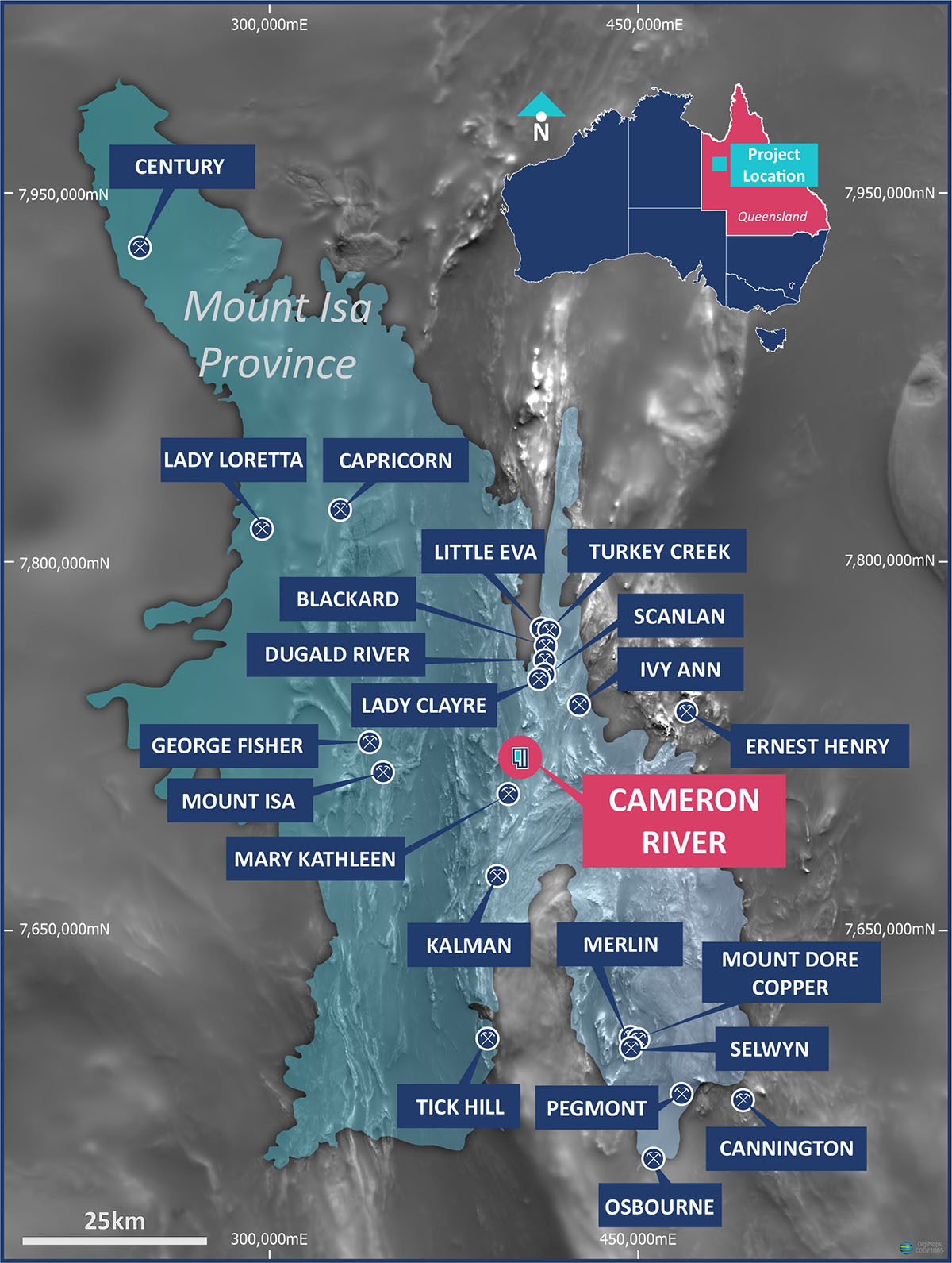
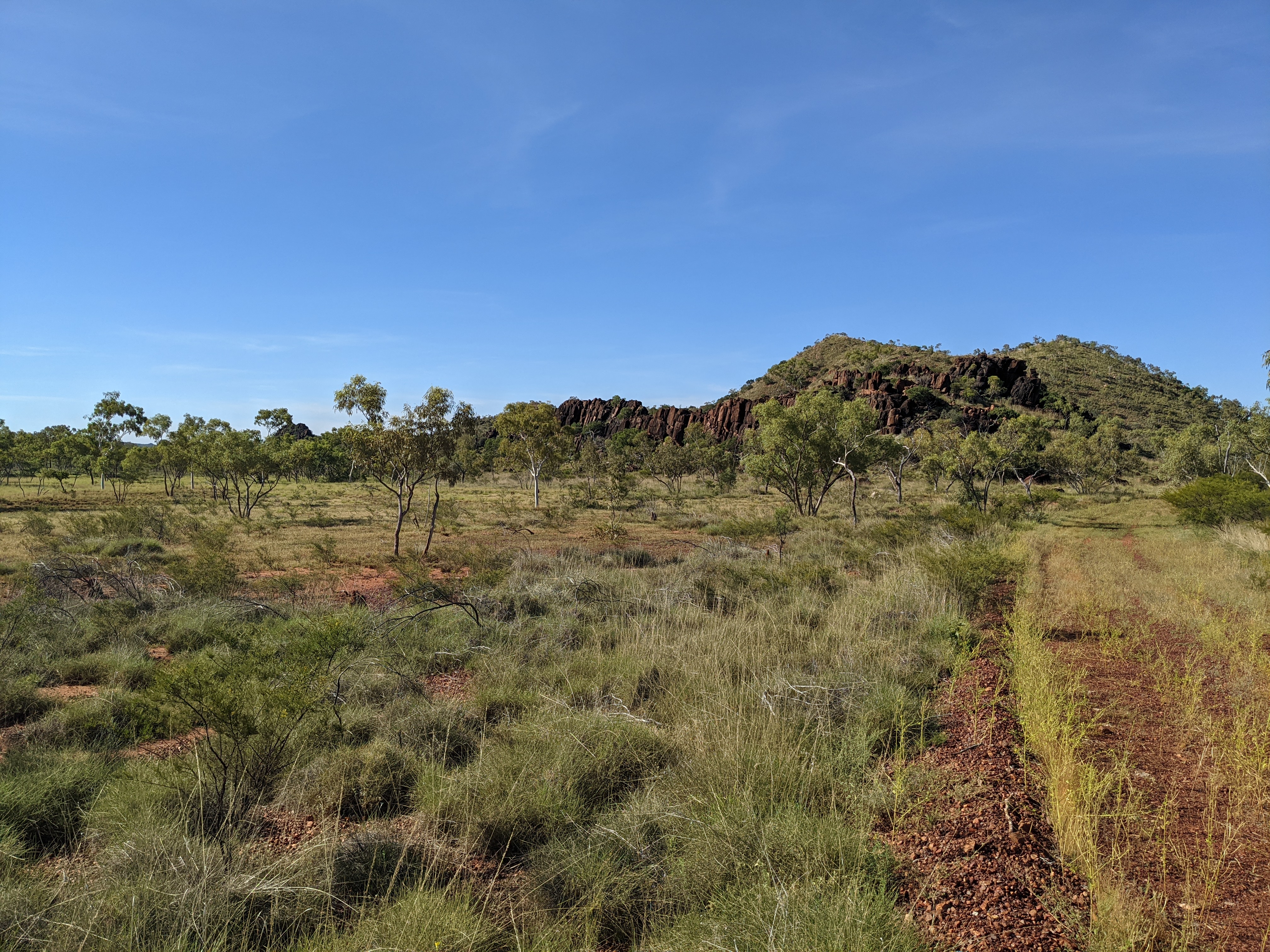
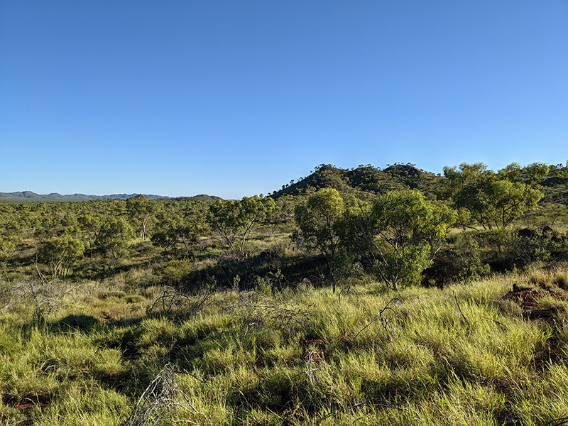
Cameron River is located within the Mary Kathleen Domain of the Mount Isa inlier, which comprises thick sequences of multiply deformed metasedimentary and metavolcanic rocks cut by several generations of felsic and mafic intrusives. The Mary Kathleen Domain specifically consists of a sequence of Paleoproterozoic shallow-water shelf sediments and lesser volcanics exposed in a belt approximately 10–20km wide and more than 200km long, trending NNE.
These sequences have experienced an extended history of deformation, granitoid intrusion, metamorphism and extensive metasomatism and have been repeatedly folded along dominant northerly trends and faulted along north, north-east to north-west trends. Several phases of granitoid emplacement impacted the province, and abundant mafic dykes, sills and pods of varying ages intruded rocks of the Mount Isa Province over an extended period.
The Mt Isa Inlier is one of Australia’s great mining provinces and includes numerous major deposits. Given its location and local geology, Cameron River is considered highly prospective for a variety of commodities including base metals, uranium, and rare earth elements. However, Coda’s focus will be on the project’s prospectivity for hydrothermal copper-gold deposits, and in particular Iron-Oxide Copper-Gold (IOCG) deposits.
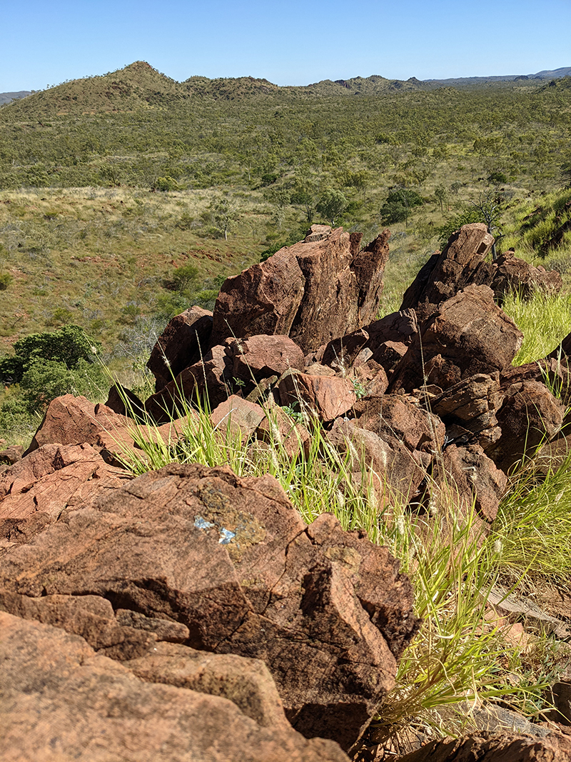
The highly prospective Corella Formation is extensively exposed throughout the project area, which is cut by mafic intrusives and north-east trending faults, all considered key indicators for the development of an IOCG system in this region. This prospectivity is backed up both by observations made on the ground by Coda personnel and by the geochemical database associated with the project, which includes numerous mineralised geochemical samples1, including 37 of 1 g/t Au or better, and 70 of 1% Cu or better, with peak grades of 6.58 g/t Au and 22% Cu. Many of these results are clustered in an area about 1.8km by 700m, which include the historic Rebound and Copper Weed prospects, suggesting the potential for a large-scale, near-surface copper-gold system in the area.
PROJECTS
CAMERON RIVER ELIZABETH CREEK